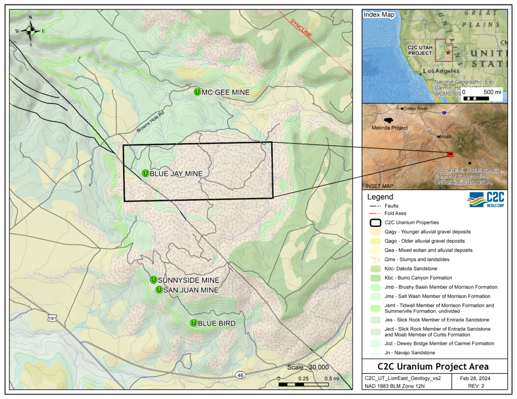
C2C’s Blue Jay Mine Uranium Property comprises 28 mineral claims covering about 560 acres, located approximately 30 miles south of Moab, San Juan County, Utah, within the La Sal Uranium District. The claims are located about 2 to 3 miles northwesterly from three historic uranium producing mines, including the Rattlesnake Mine – one of the top four past producing uranium-vanadium mines in the La Sal District. The project area is also within, or adjacent to, the largest favorable channel trend in the western part of the La Sal Uranium Mining District, Utah, which hosts many of the largest uranium deposits in the La Sal District.
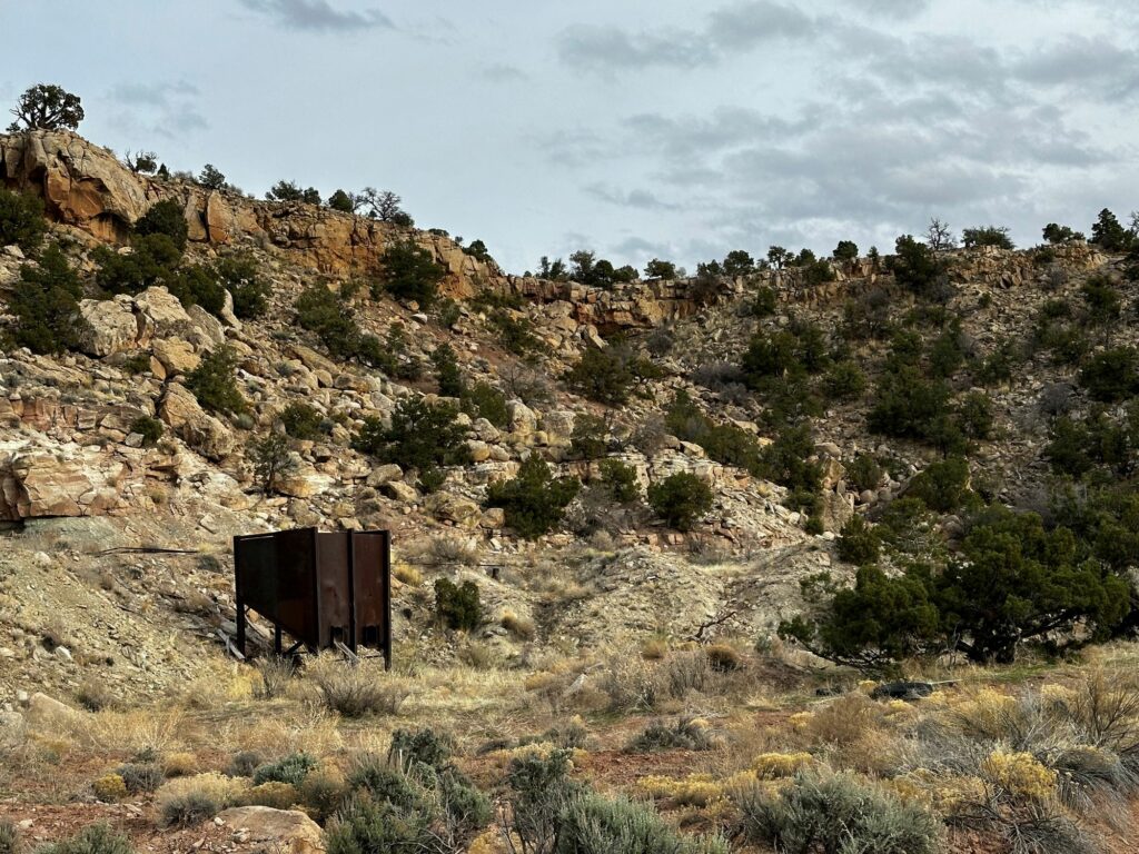
The claim area saw extensive drilling by URADCO, a subsidiary of Pennsylvania Power and Light Corp (PPL), with some drill sites still visible today. Using URADCO”s drill results from 22 holes, in March 1981, Atlas Minerals’ Chief Mining Engineer prepared a preliminary economic evaluation for Atlas’ President of a deposit on the property estimating about 110,000 pounds U3O8, at an average grade of about 0.25% U3O8, at depths of 330 to 360 ft. The Atlas report classified the uranium resources as “economically viable reserves.” Other information in the Atlas historic records suggests there may be additional lower grade mineralization including 140,000 lbs. U3O8, on property covered by C2C’s claims. The Atlas engineer also estimated the V2O5 deposit grade to be 1.25%, based on a historic V2O5:U3O8 ratio of 5:1 for the La Sal District, suggesting an estimated 550,000 lbs. V2O5 included with the estimated uranium resource. At the 1981 Atlas report date, the uranium market price had been falling precipitously, and Atas elected not to acquire the URADCO drilled property. The estimated uranium mineral resources in the Atlas Minerals report are historic in nature and do not conform to the resource reporting terminology as defined in NI 43-101.

The La Sal Uranium-Vanadium District is identified as having Utah’s second highest potential for the discovery of additional uranium reserves. C2C’s 28 claims including the historic Blue Jay Mine Portal, are also located in an area identified as having “high exploration potential,” by the Utah Geological Survey in its report “Uranium Potential in Utah1.”
The sandstone-type uranium-vanadium mineralization at the Blue Jay Mine Property is hosted within the upper most sandstone “rim” of the Salt Wash Member of the Jurassic age Morrison Formation. The uranium mineralization on the claims is typical of the Sandstone uranium deposits of the Salt Wash type, of the Colorado Plateau Province. A major characteristic of the Salt Wash type deposits is the occurrence of vanadium together with the uranium, with vanadium usually occurring in higher concentrations than uranium, making them different from the Wyoming and New Mexico uranium deposits, which routinely have very low concentrations of vanadium.
Based on the historic information from the Atlas Minerals’ report, C2C’s exploration target for the property is between 100,000 and 250,000 lbs. U3O8, at an estimated average grade ranging from 0.15% to 0.25% U3O8, at depths between 330 and 360 ft. The target deposit is conceptional in nature and should not be relied upon by the reader. A Qualified Person (as defined in NI 43-101) has not done sufficient work to verify the historical information on which the conceptual exploration target is based. Additional work, including drilling, will be required to confirm the presence of uranium, and if present, to establish the amount and grade of any mineralization that is found. C2C is not treating the historical information as reliable, and it should not be relied upon.
Dr. Douglas Underhill, CPG, a Qualified Person as defined by National Instrument 43-101 and a Consultant to C2C Metals Corp., has reviewed, verified, and approved disclosure of the technical information contained on this webpage.


[1] Gloyn, R.W., and Ken Krahulec, 2005, “Uranium Potential in Utah,” Utah Geological Survey, Salt Lake City, Utah, 54 p.